Point Cloud Registration
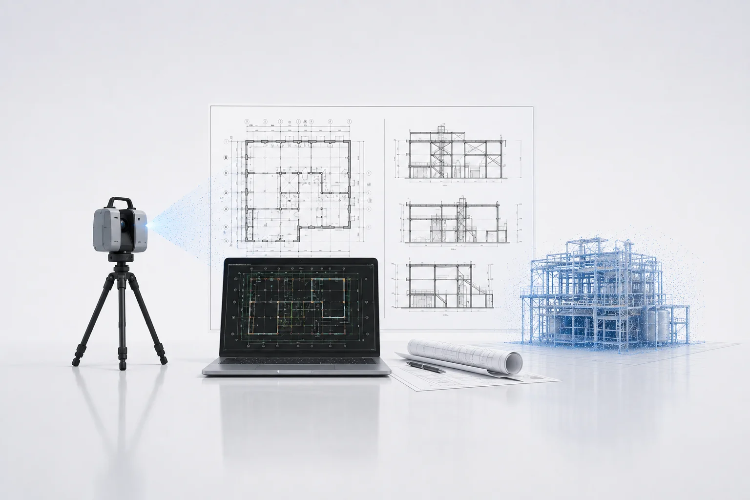
Multiple laser scans aligned into unified coordinate systems using ICP and feature-based registration. Eliminates gaps and overlaps while maintaining precision.
- Multi-scan alignment
- ICP refinement
- Coordinate system setup
- Accuracy verification

Noise Removal & Cleanup
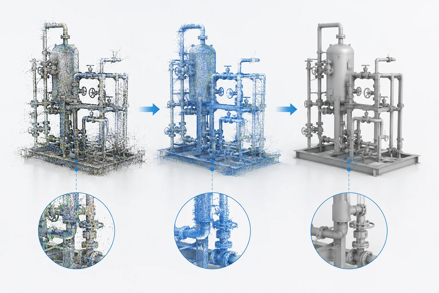
Outliers, noise, and unwanted geometry removed while preserving structural detail. Statistical and geometric filtering ensures clean input for downstream workflows.
- Outlier detection and removal
- Noise filtering
- Unwanted geometry removal
- Detail preservation

Point Cloud Classification
Automatic and manual classification of point cloud data into functional categories: structural elements, piping, equipment, and surfaces. Enables targeted processing workflows.
- Automated classification
- Manual refinement
- Element categorization
- Quality assurance
Format Conversion & Export
Processed point clouds converted to industry-standard formats: E57, LAS, LAZ, XYZ, and vendor-specific formats. Optimized for size, compatibility, and downstream use.
- Multi-format support
- Compression and optimization
- Metadata preservation
- Delivery readiness
Ready to expand your engineering capacity?
Tell us about your laser scan project — scope, scan count, target deliverables. We'll come back within 24 hours with a clear path to delivery.
Request a Quote